Is Your Phone Lying to You? A Complete Guide to GPS Accuracy and Location Drift
You check the map. It says you’re standing in the middle of a parking lot. Your boots are on cracked pavement three streets over. The pin wobbles, then drifts toward a river that isn’t there. Your device isn’t malfunctioning. It is carrying out management work for satellite and network handshakes exactly as the underlying RF architecture allows it to do. Location accuracy comes with a clean coordinate pair on the surface, but the backend delivers a negotiated estimate. Developers often build routing logic based on meter-level precision. Users expect rock-solid pins right away. Both expectations overlook how aggressively modern operating systems throttle positioning routines to preserve battery life.
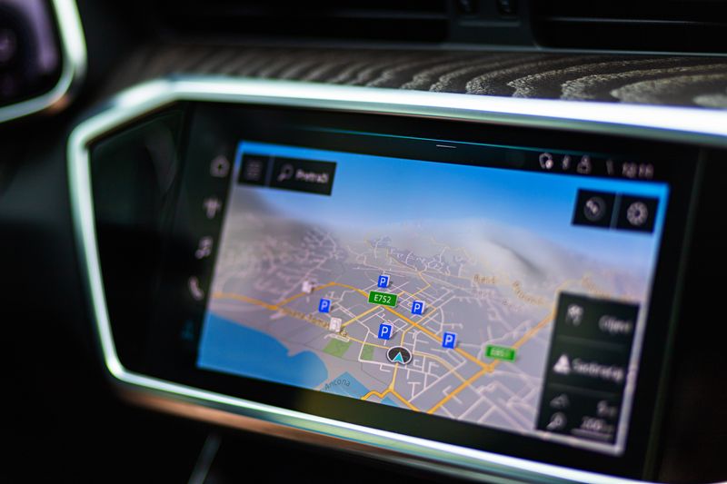
Let’s pull back the hood. When you request a location fix, the device does not simply ping one source. It performs configuration for a multi-stage evaluation process that triangulates signals from GNSS, that is, Global Navigation Satellite System, constellations alongside Wi-Fi access point fingerprints, cellular tower handoffs, and sometimes IP-based fallback routing. Each vector introduces its own noise floor. Satellite geometry shifts across the sky. Signals bounce off glass facades, a phenomenon engineers call multipath error, which skews the calculated distance to a significant extent. At the same time, network-assisted positioning pulls ephemeris data to accelerate cold starts, but that cached information expires quickly. If you sit near a concrete overpass, the visible hemisphere narrows, and the receiver struggles to lock onto enough satellites for a high-confidence fix. The coordinates wander. That drift isn’t random. It is a mathematical reality bound to your immediate signal environment.
Want to see it in real time? You need to carry out measurement work for the raw output rather than trusting the polished map overlay. Open a bare-bones GPS accuracy test tool in your mobile browser. Keep the page focused. Let it run for at least two minutes while you stand completely still. Watch how the latitude, longitude, and altitude values flicker. You’ll notice the horizontal accuracy metric expanding and contracting based on how many satellites align in your visible sky. The update speed usually sits around one hertz on standard configurations, but background tab throttling will push that interval much lower. I have watched location payloads stretch to fifteen-second gaps the moment the screen dims. That delay breaks real-time tracking workflows.
Permissions dictate everything. If an application holds background location access, the system carries out aggressive management work for the GNSS radio duty cycle to prevent thermal spikes. iOS and Android both apply similar throttling curves. You grant precise location during setup, but the OS still evaluates your activity state. Are you moving? Is the battery critical? Did you skip the high-accuracy mode in the system preferences? These variables force the positioning stack to fall back on network-derived estimates, which swap satellite triangulation for Wi-Fi router geolocation. The accuracy radius balloons from five meters to fifty. Developers often treat this fallback as a software defect. It is actually a documented power-saving characteristic built into the platform.

Building geofence triggers requires you to account for that radius. I usually pad the boundary by ten meters to absorb the noise floor, then carry out validation work against the horizontal accuracy value before firing any state changes. If the reported accuracy reads twenty meters, the device is essentially guessing inside a city block. Trusting that single coordinate pair to unlock a gate or clock a shift leads to phantom triggers and frustrated users. Instead, you leverage timestamp chaining to make coordinate filtering possible, comparing consecutive payloads and discarding readings that deviate beyond a statistically valid threshold. Kalman filtering helps, but a simple moving average of the last five high-quality fixes often handles the data smoothing work without pulling in an external math library.
Vertical accuracy gets even uglier. GNSS geometry provides far weaker vertical resolution than horizontal tracking. You will see altitude values jumping by ten to twenty meters on a perfectly flat sidewalk. Most mapping stacks smooth that out visually, but raw logs expose the underlying instability. If your application relies on elevation for floor-level detection, you need to carry out cross-validation work with barometric pressure sensors instead of depending purely on satellite-derived Z-axis data. The pressure differential gives you a cleaner step count, even if it requires periodic calibration against known reference points.
Update velocity tells a different story. High-frequency polling burns the battery, but it also exposes RF interference patterns. When you crank the sampling rate past one second, you start seeing the hardware struggle to handle payload processing work fast enough. The buffer fills. The OS drops packets. The reported speed jumps erratically because it calculates displacement over an artificially tiny time window. I recommend capping background polling at thirty-second intervals and switching to event-driven callbacks for active navigation modes. You get smoother trajectories without forcing the modem into continuous high-power states.
Next time you troubleshoot a location mismatch, do not restart the device immediately. Check the accuracy radius first. Verify the permission tier. Note the signal quality if your test tool exposes it. Step outside. Walk thirty paces. Watch how the fix stabilizes once the sky view clears up. Location data is rarely deceptive. It operates as a negotiated compromise between orbital physics, battery constraints, and software heuristics. You just need to make use of the metadata that sits beside the coordinates. Once you understand how the positioning stack carries out its evaluation work, the drifting pins stop looking like bugs. They start looking like telemetry. And telemetry you can actually build against.
Ready to test your settings? Just seconds.
Recommended Tools
Web Bluetooth Scanner & Connection Test
Use the Web Bluetooth API to scan for nearby devices. Test browser connectivity, pairing, and data transfer capabilities (requires compatible hardware).
Phone Vibration & Haptics Test
Online check for your phone's vibration motor. Offers continuous, pulse, and pattern modes to test haptic feedback strength and responsiveness.
Webcam Test - Check Camera Resolution & Focus
Quickly verify if your webcam is working. Check resolution, focus, and clarity. Supports mirroring and snapshot capture. Essential tool before Zoom/Teams calls.
HDR Display Capability Test
Check if your monitor or mobile screen supports HDR (High Dynamic Range). Visually compare SDR vs. HDR colors and test screen brightness and color depth.
Mic Tester — #1 Free Online Microphone Test & Recorder
The most trusted free online microphone test. Instantly check your mic for sound quality, echo, and background noise. Real-time waveform visualization, one-click recording, and playback. No install required. 100% private.
Mobile Sensor Test - Gyroscope & Accelerometer
Comprehensive check for mobile sensors. Read real-time data from gyroscopes, accelerometers, and orientation sensors to verify motion sensitivity.